Google Earth
Please choose the module to use
for Google Earth Display
 GPS2GE V2.0 (Many details, big size)
Simple (Only Task, very small)
Line Color Line width
for Google Earth Display
GPS2GE V2.0 (Many details, big size)
Simple (Only Task, very small)
Line Color Line width
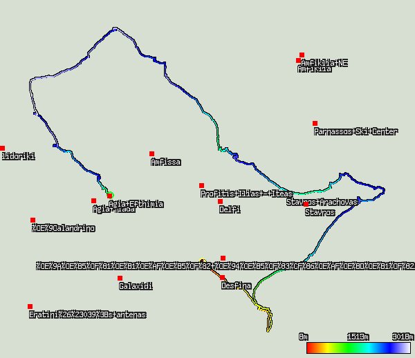
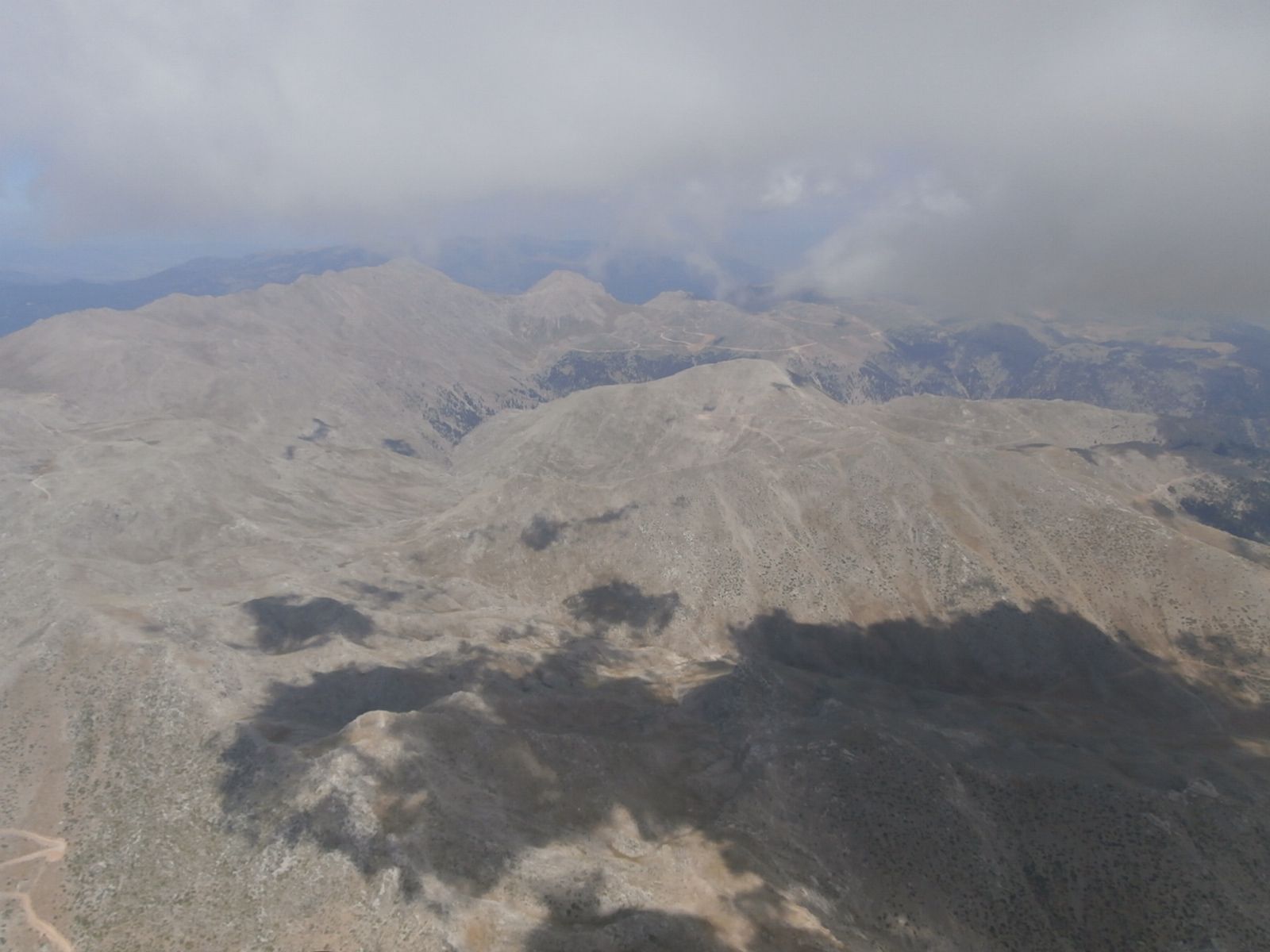
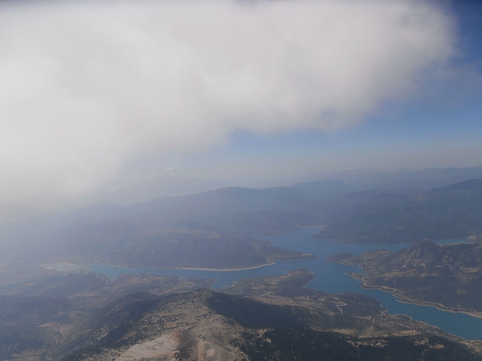
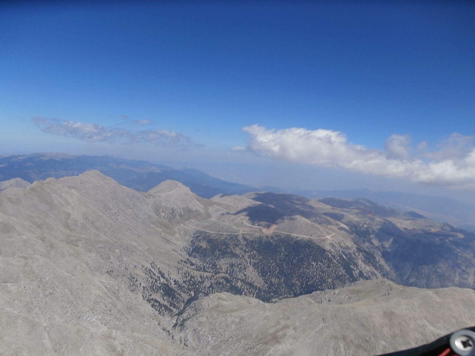
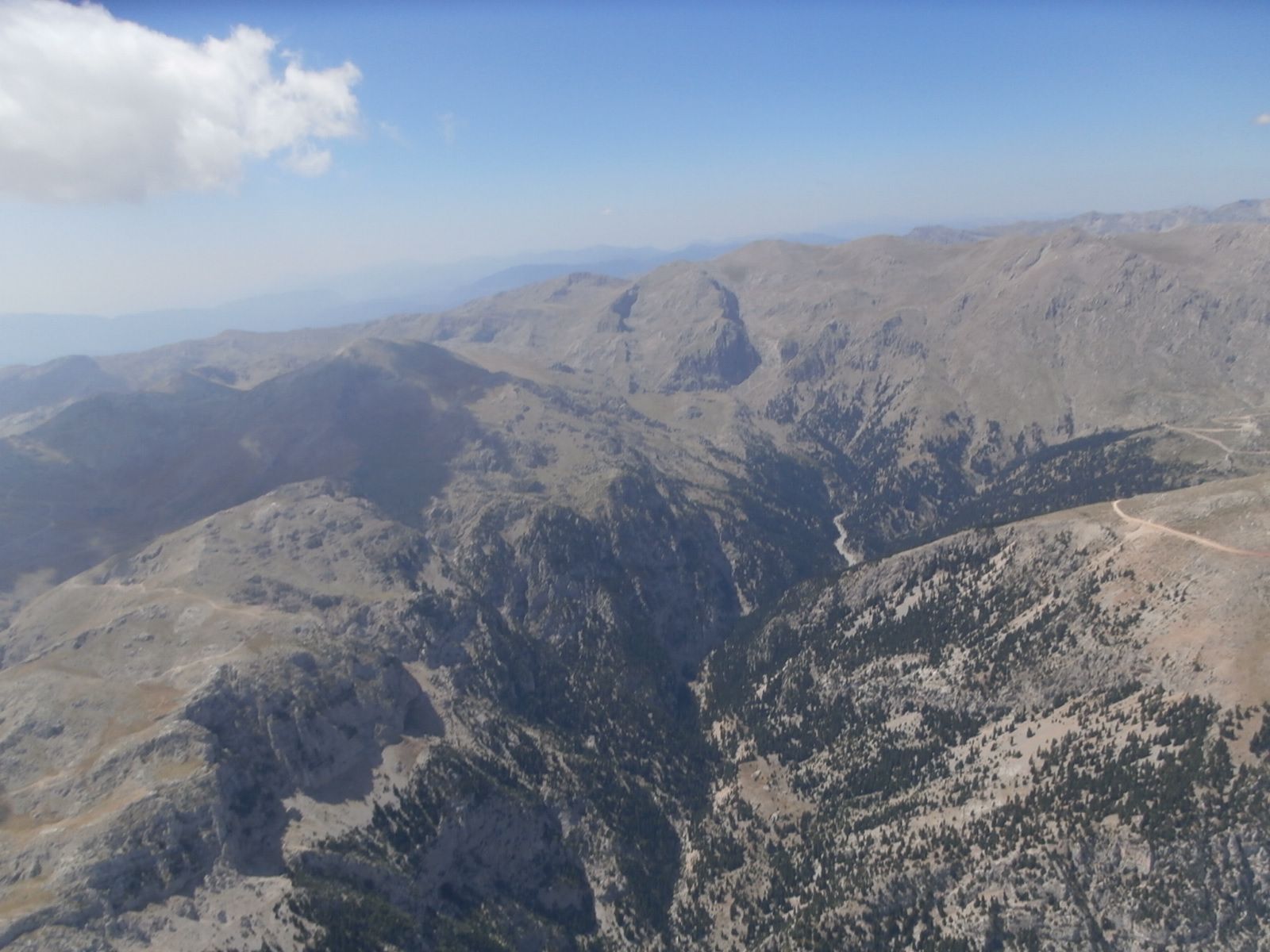
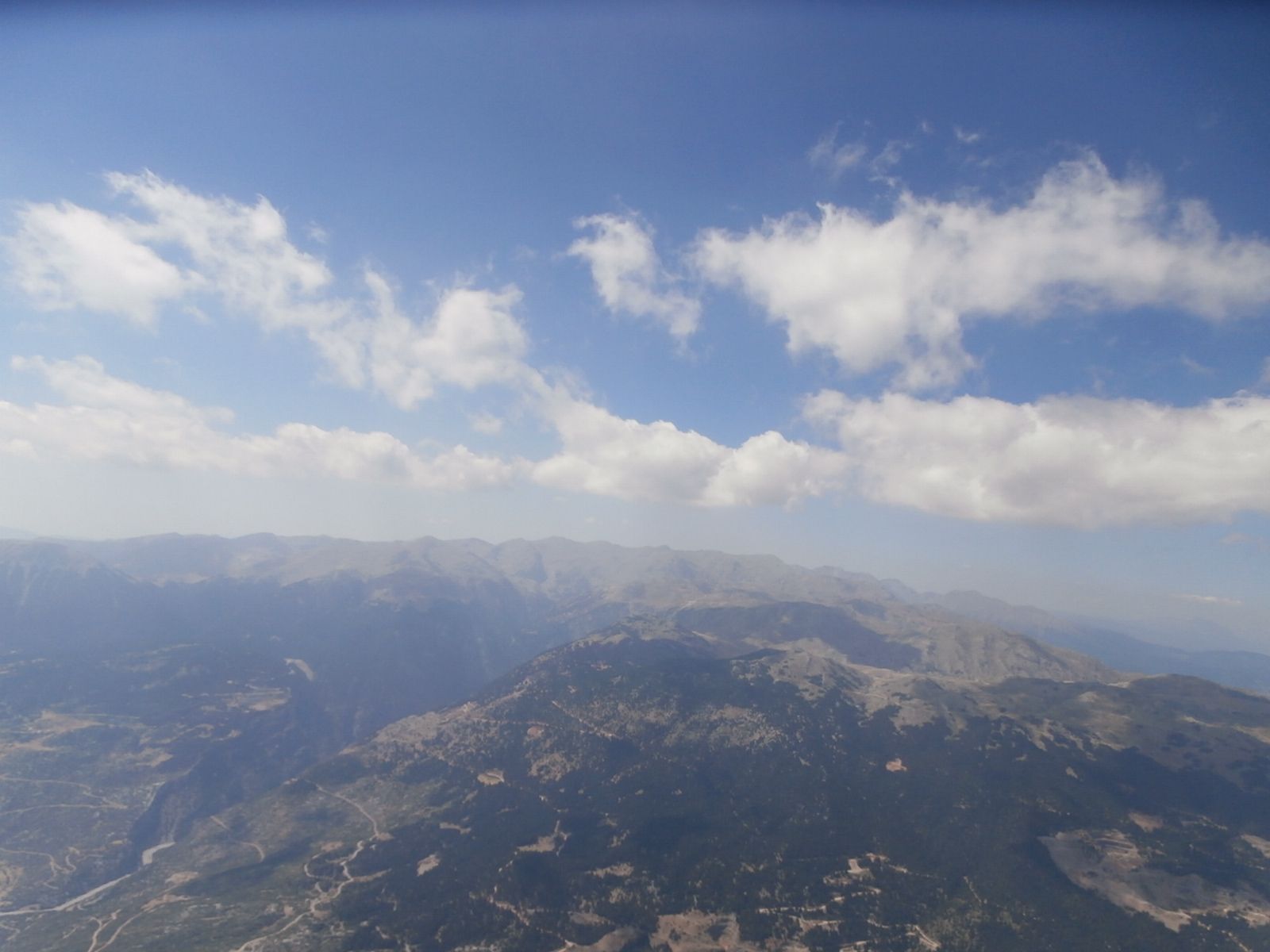
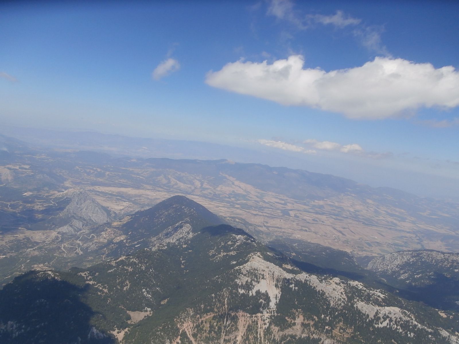
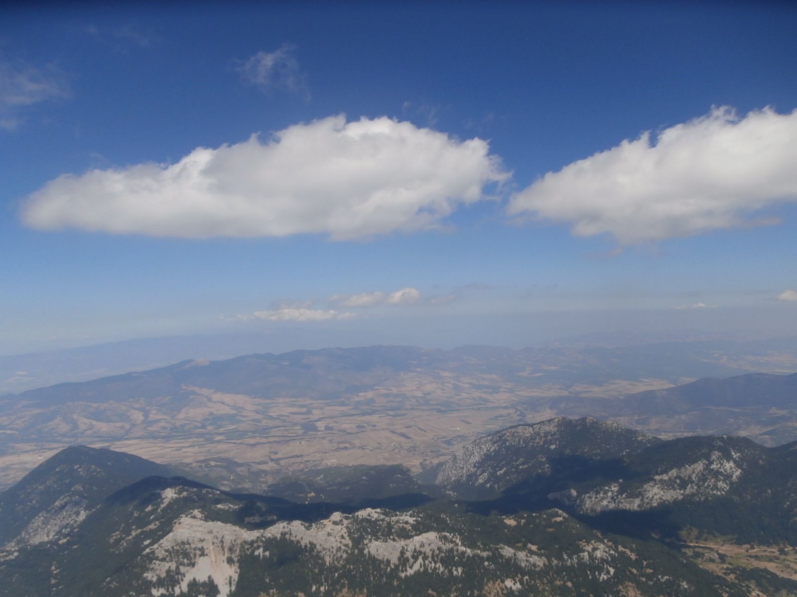
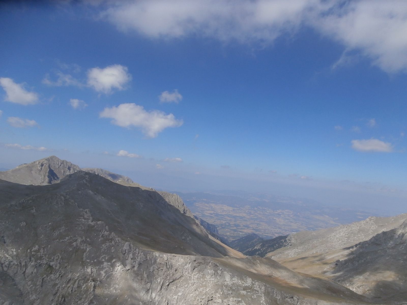
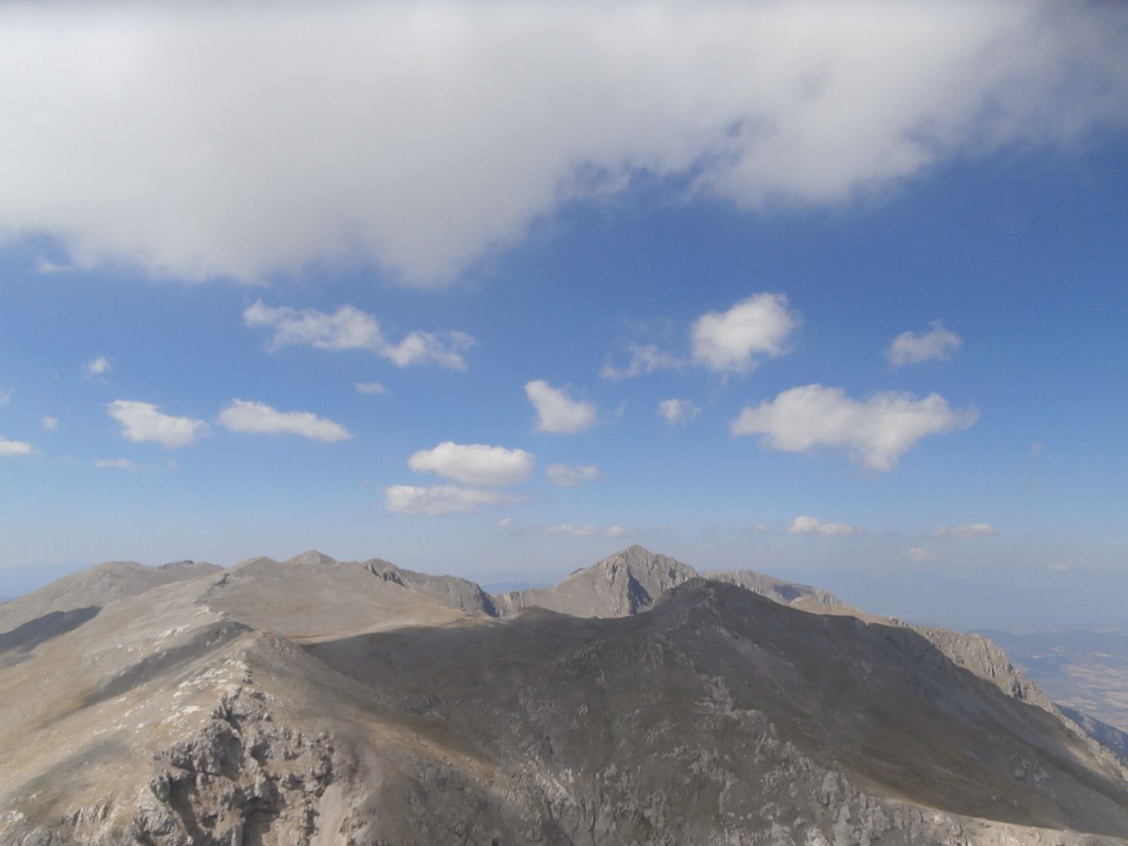
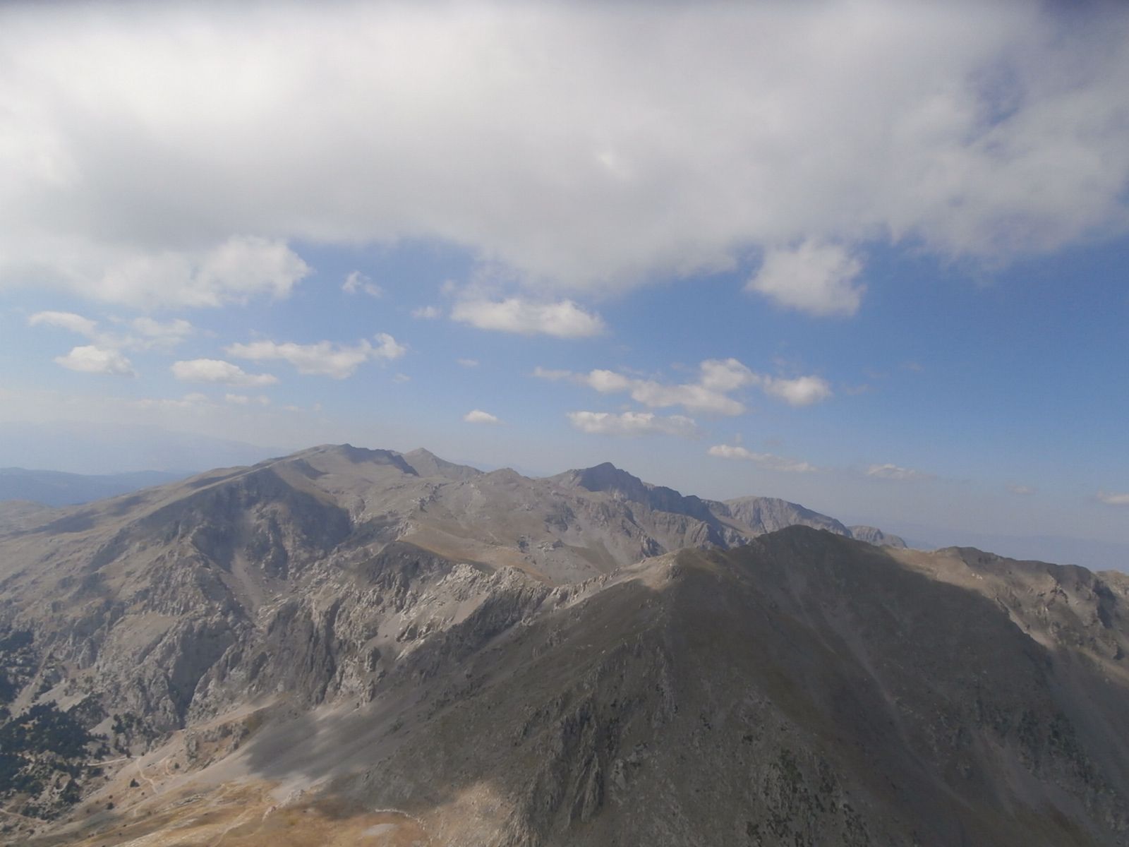
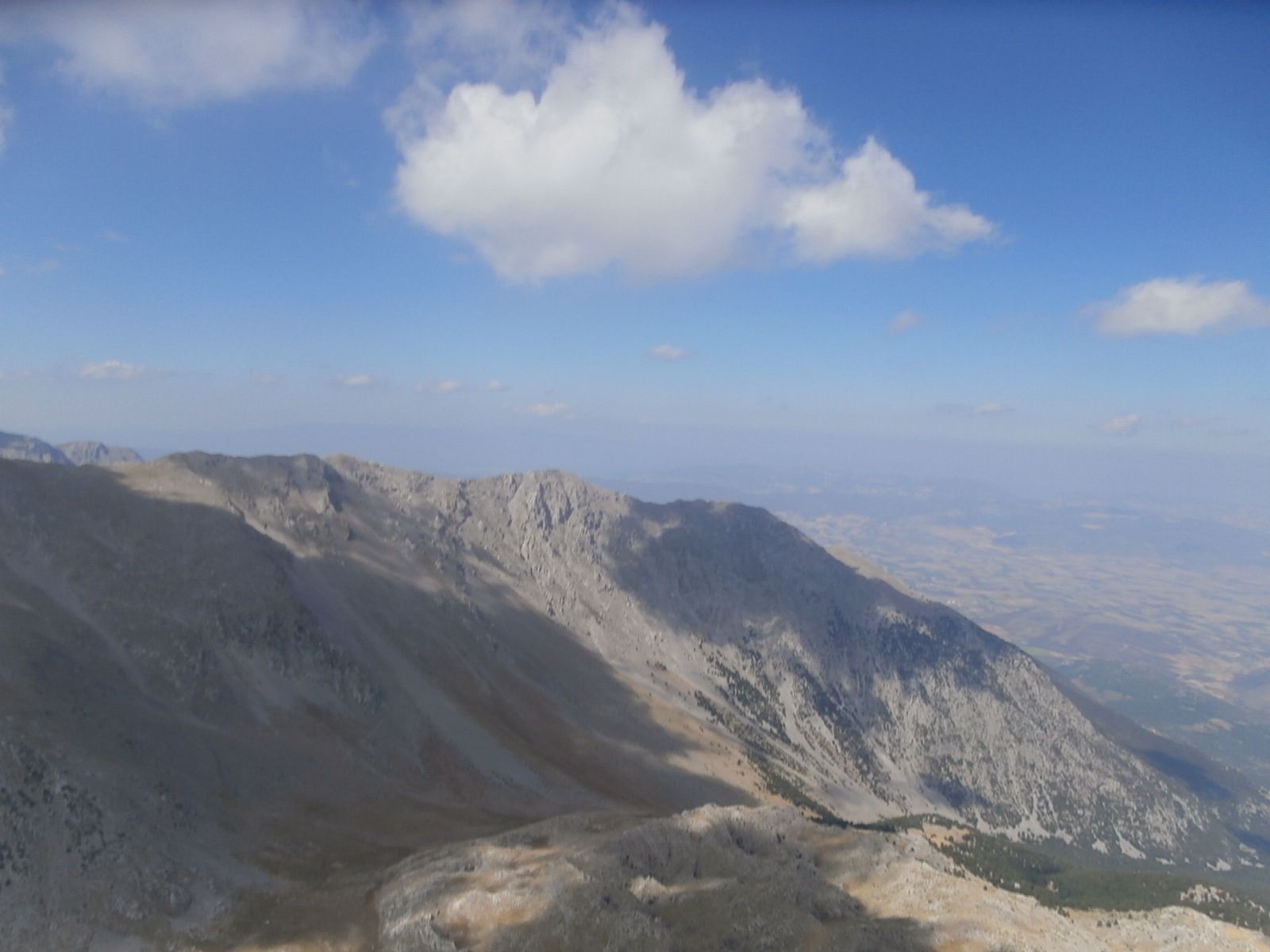
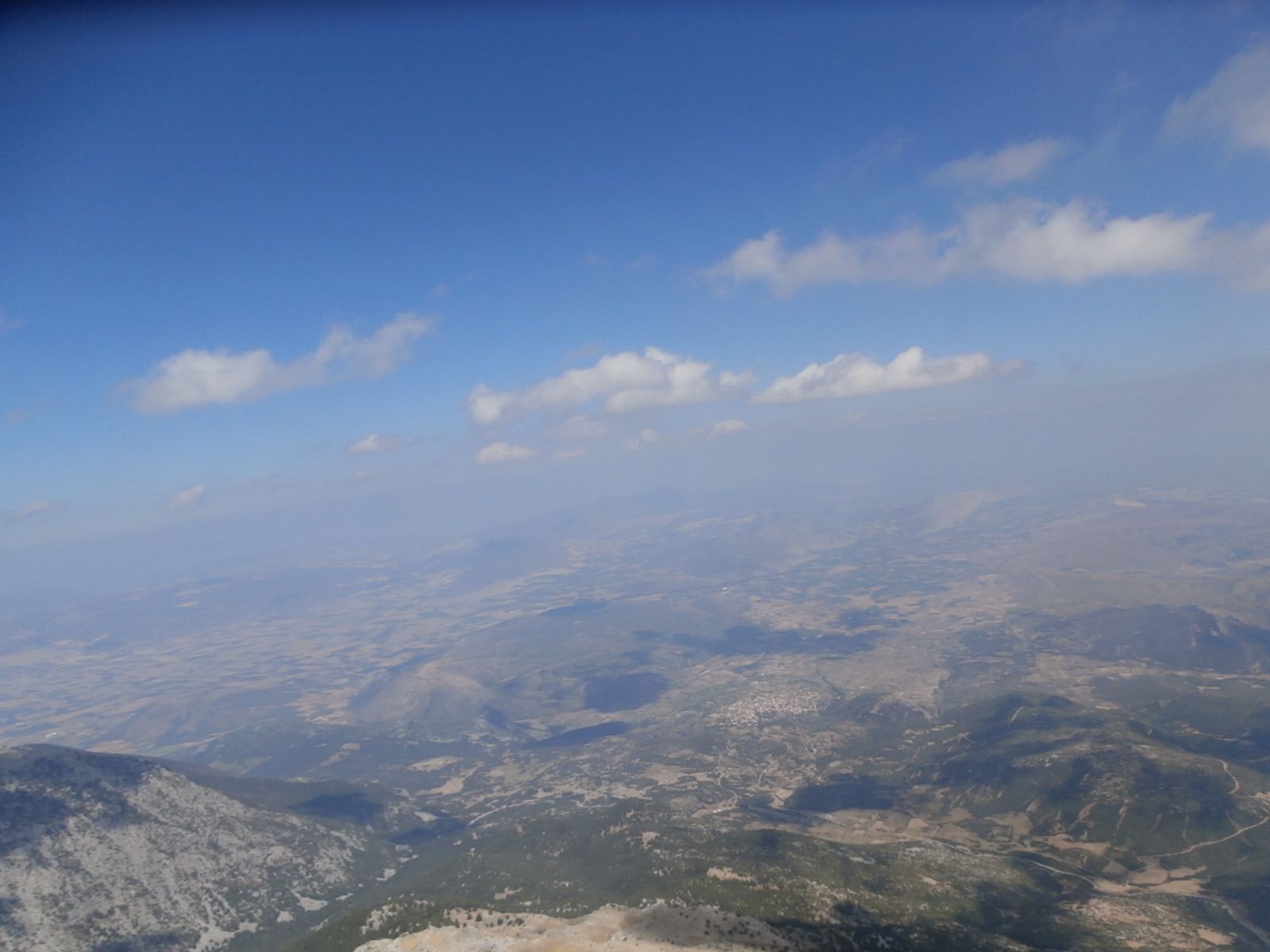
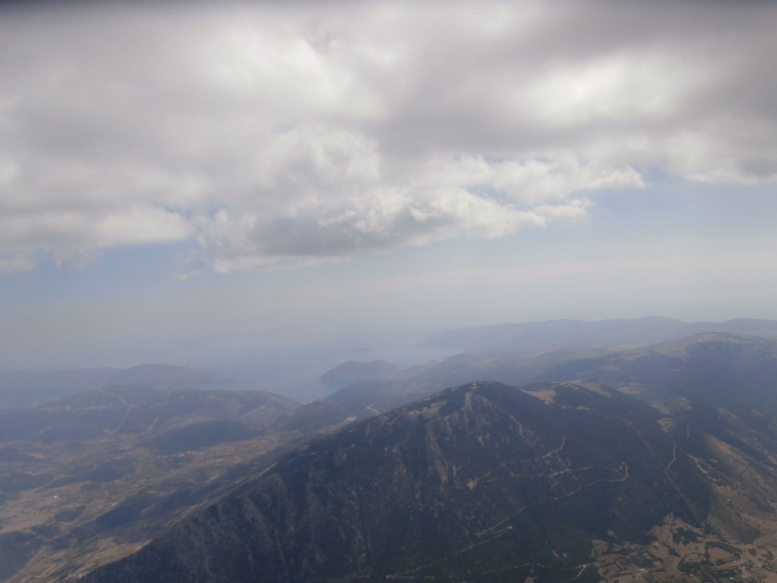
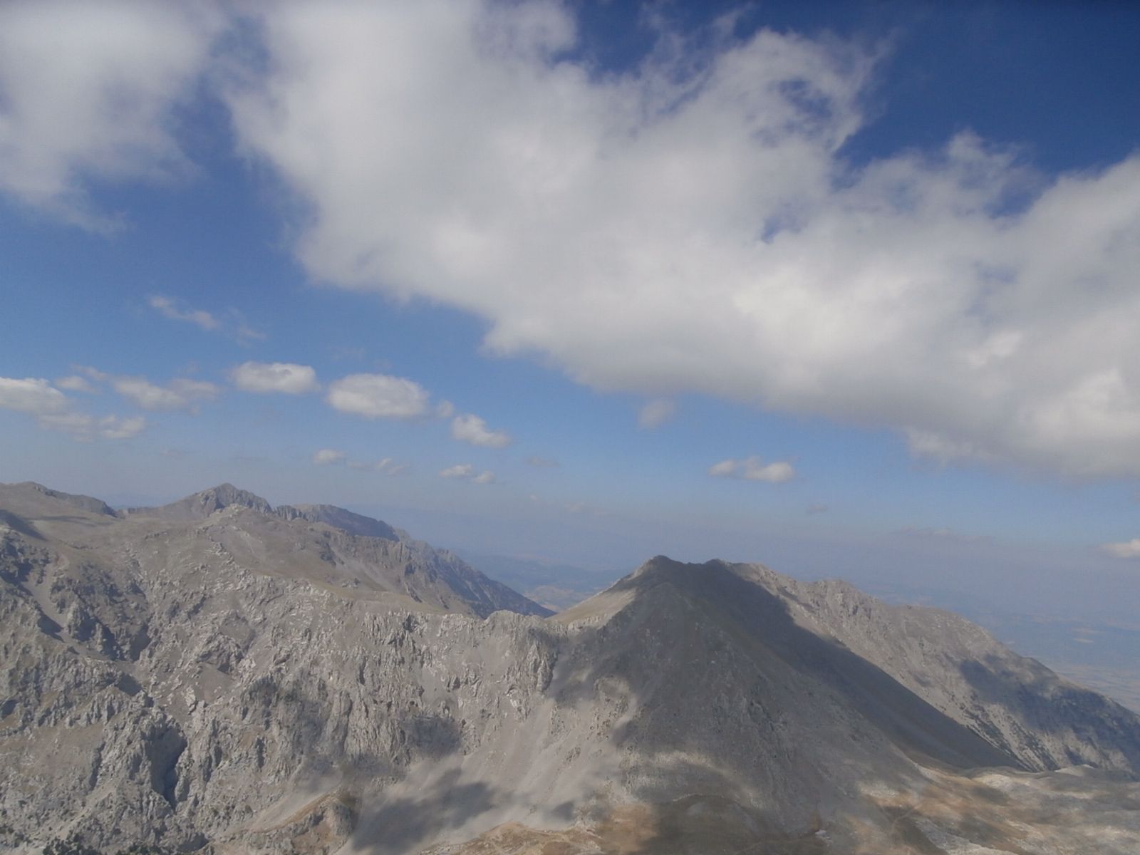
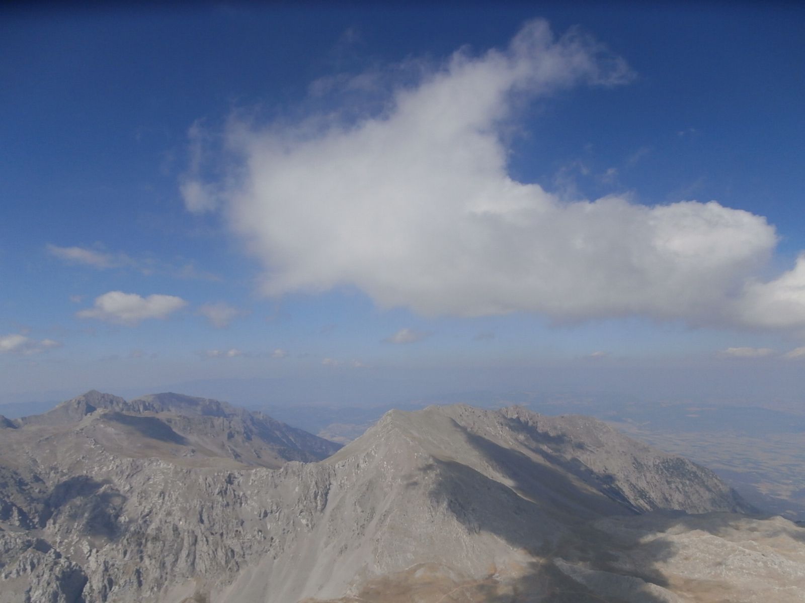
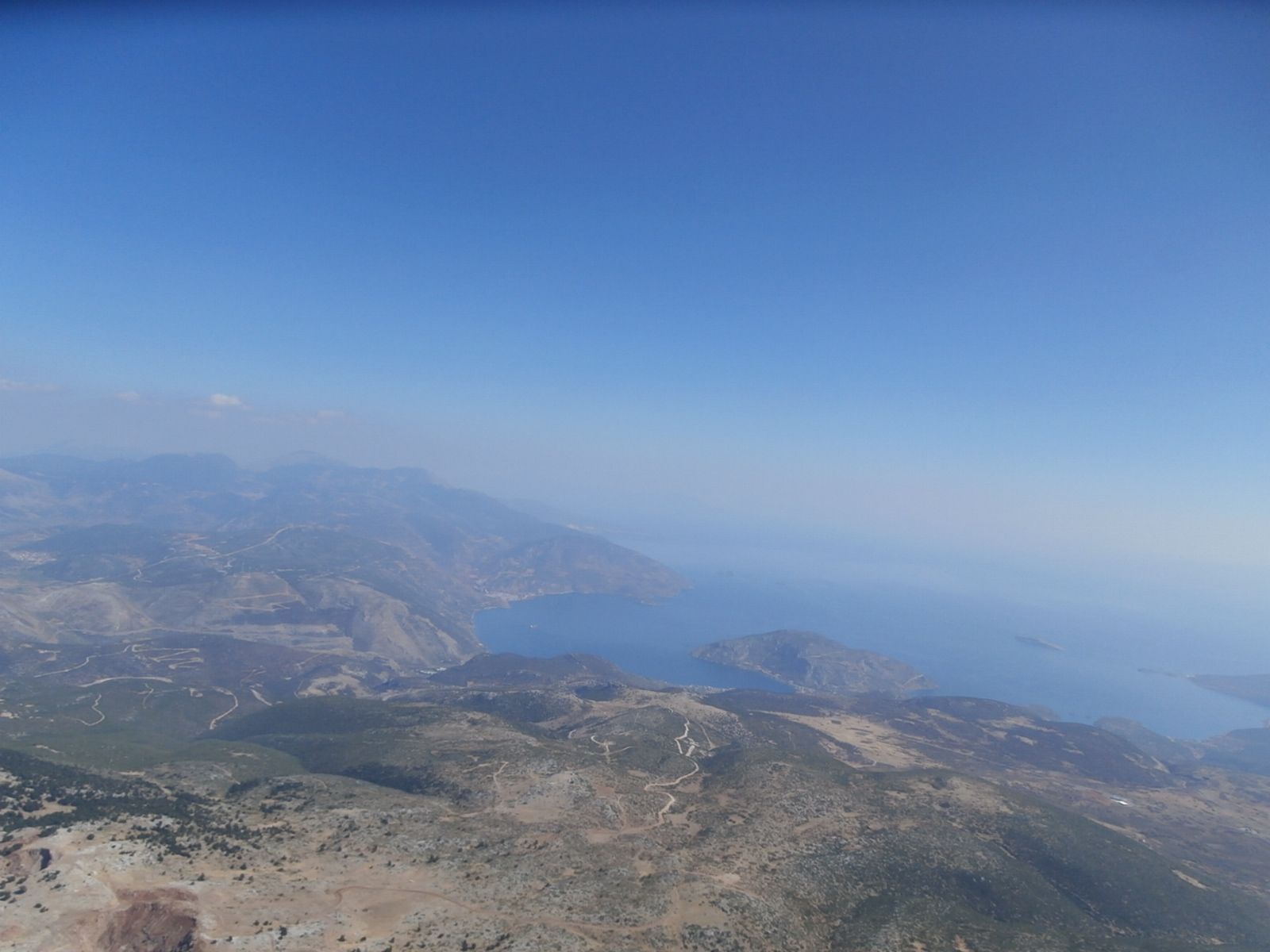
Information om flyveområdet
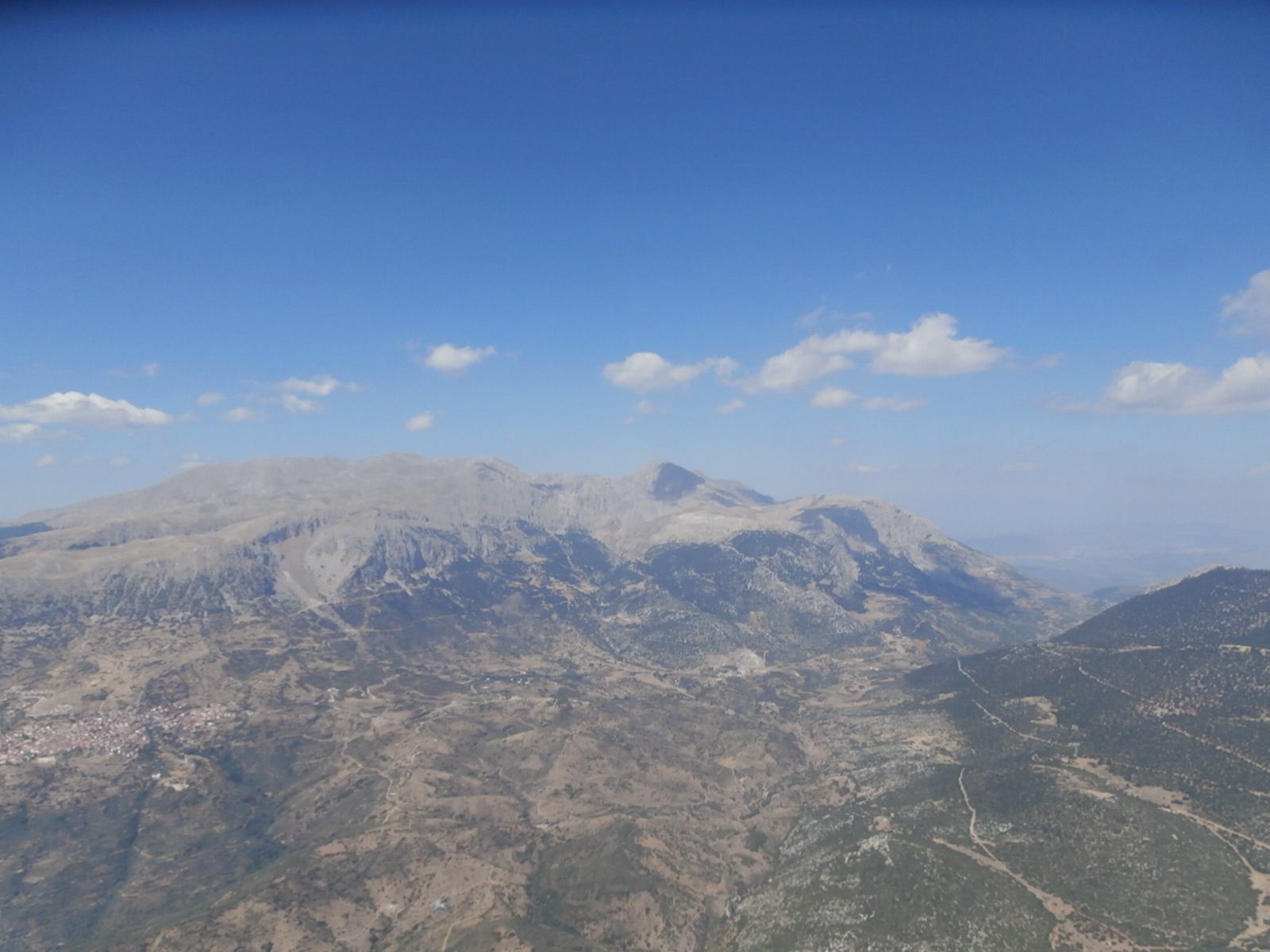
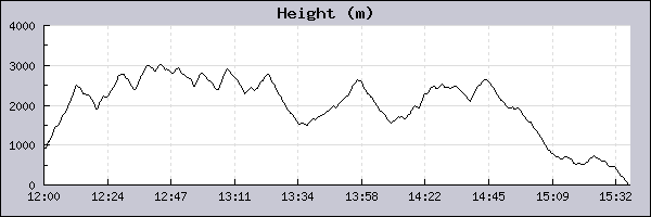
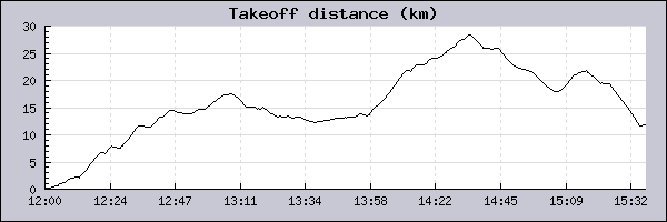
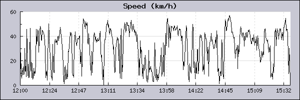
Pilot: Giannis Ksiros Dato: 27/08/2014
|
||||||||||||||||||||||||||||||||||||||||||||||||||||||||
|
||||||||||||||||||||||||||||||||||||||||||||||||||||||||